Henrik Schröder · 27 October 2026
Ranchers Deploy GPS Collars on Livestock to Map Overlapping Elk Routes and Protect Forage Resources
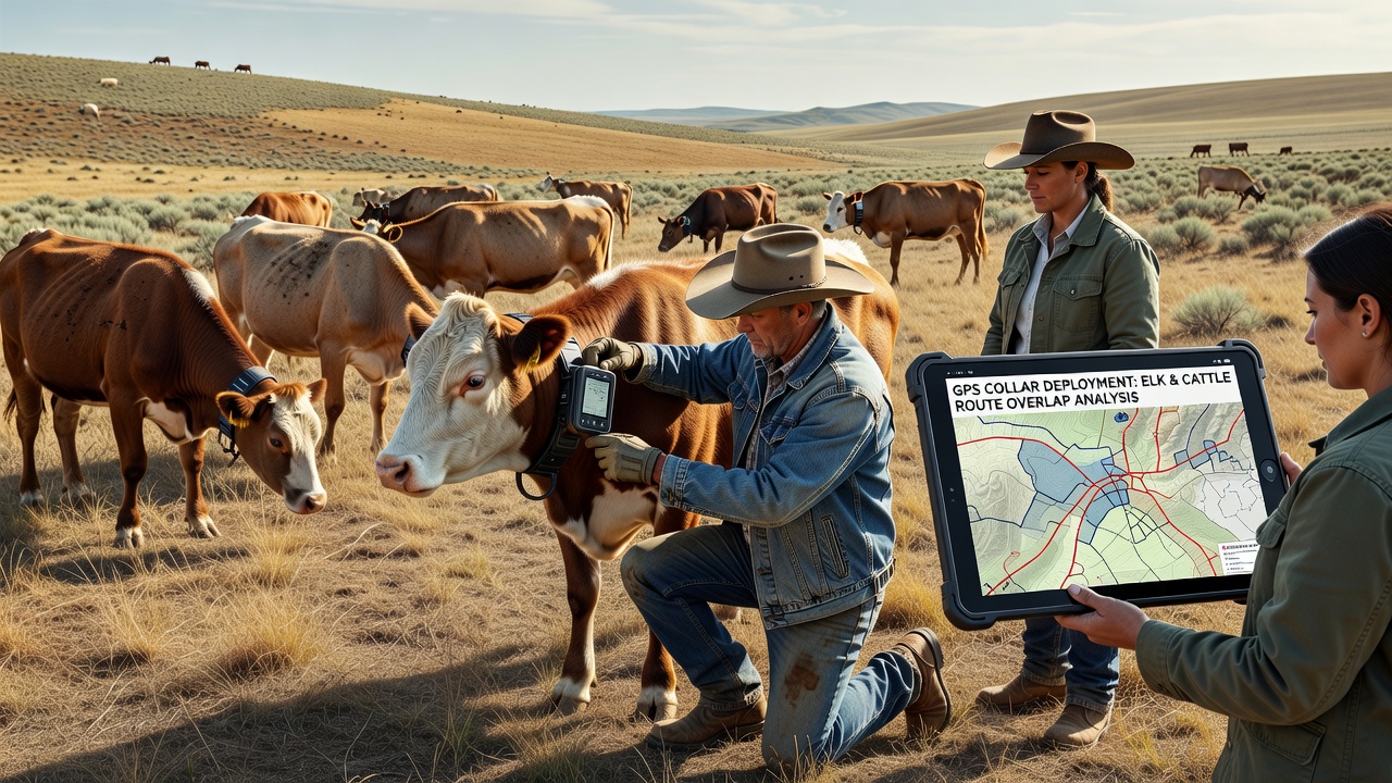
Ranchers across western rangelands have turned to GPS collars on cattle and sheep to track herd movements against known elk migration corridors, and the data helps identify where livestock and wildlife compete for the same grasses and forbs. The collars record location points every few minutes, which managers then overlay with satellite imagery of vegetation and historical elk route maps compiled by state wildlife agencies. This approach reveals specific overlap zones where heavy livestock use coincides with elk passage during spring and fall migrations, allowing adjustments in grazing timing before forage depletion becomes severe.
Collars weigh between 300 and 500 grams and transmit via satellite or cellular networks depending on terrain coverage, with battery life extending up to three years in most commercial models. Ranch crews fit the devices during routine handling, and the units log elevation, speed, and daily travel distance alongside coordinates. Software platforms convert raw data into heat maps that highlight repeated travel corridors shared by both species, while vegetation sampling at those sites measures biomass removal rates and regrowth intervals.
Tracking Livestock and Elk Interactions
Elk herds often follow predictable routes through valley bottoms and mid-slope benches where ranchers hold permitted grazing allotments, and GPS records show cattle lingering in those same areas for multiple days when water sources and shade align. One study from the U.S. Geological Survey documented that elk and cattle overlap in space exceeds 40 percent during October migration windows in several Rocky Mountain drainages, with shared use concentrated around riparian stringers and aspen stands. Ranch managers receive alerts when herds enter high-overlap polygons, prompting moves to alternate pastures before repeated trampling reduces residual cover needed for elk bedding and foraging.
Data streams also capture how weather events shift patterns; heavy early snow in higher elevations pushes elk downslope sooner than average, compressing the overlap window and requiring faster rotation decisions. Collars on both livestock and a sample of collared elk from cooperating wildlife agencies allow direct comparison of daily travel paths, revealing that elk avoid active cattle concentrations by several hundred meters on some days yet feed alongside them on others when forage quality remains high.
Adjusting Grazing Plans Based on Route Data
Once overlap maps are generated, operators shorten grazing periods in identified conflict zones and shift turnout dates to avoid peak elk movement months. In several allotments, this has meant moving cattle off key benches by mid-October instead of the traditional November gather, giving grasses additional weeks to recover before winter dormancy. Pasture rest periods extend from the previous 30-day average to 45 or 60 days in high-use overlap areas, and supplemental water developments are sited outside primary elk corridors to reduce concentrated use.
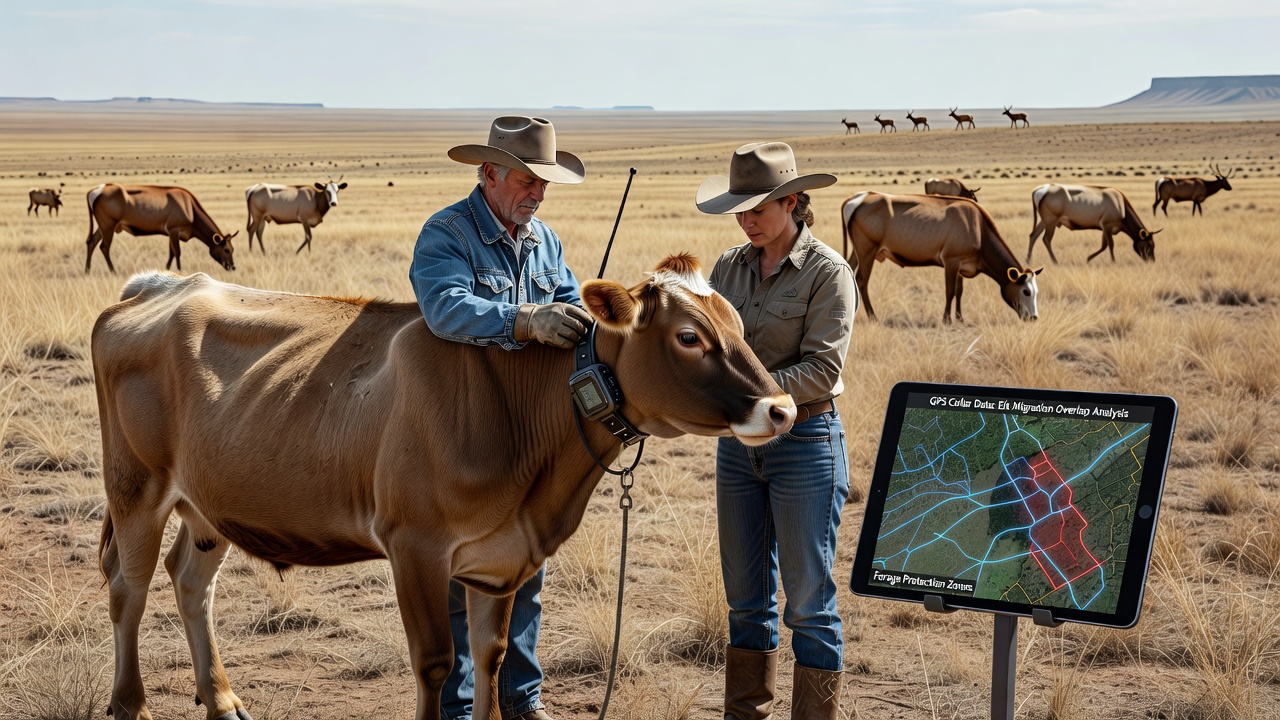
Monitoring continues through the winter months using stored collar data, and spring green-up measurements confirm whether adjusted timing improved residual forage height and plant vigor. Producers share anonymized data layers with neighboring ranches and agency biologists, creating larger landscape-level maps that identify regional pinch points where multiple herds converge with elk trails. These collaborative datasets have prompted coordinated turnout schedules across adjacent allotments so that no single pasture receives concentrated pressure during the same migration pulse.
Current Deployments as of October 2026
By October 2026, collar programs operated on more than 12,000 head of cattle across 18 grazing associations in the intermountain west, with collar density reaching one unit per 25 animals in core overlap allotments. Funding combinations include cost-share grants from federal land agencies, state wildlife department contributions, and producer cooperatives that pool equipment purchases. Training sessions conducted by extension livestock specialists cover collar deployment, data upload protocols, and basic GIS interpretation so ranch staff can generate daily movement reports without outside consultants.
Integration with existing virtual fencing systems allows automatic alerts when collared animals linger inside mapped overlap zones, and some operations pair collar data with drone imagery flown quarterly to verify vegetation response. The combined records now span three full migration cycles, providing enough replication to distinguish weather-driven shifts from management-driven changes in forage condition.
Conclusion
GPS collar programs supply ranchers with precise spatial data that align livestock movements with elk routes, supporting targeted grazing adjustments that maintain forage availability for both wildlife and domestic herds. Continued expansion of these monitoring networks through 2026 and beyond depends on sustained data sharing among producers, wildlife agencies, and land managers to refine rotation schedules and protect shared rangeland productivity across seasons.